
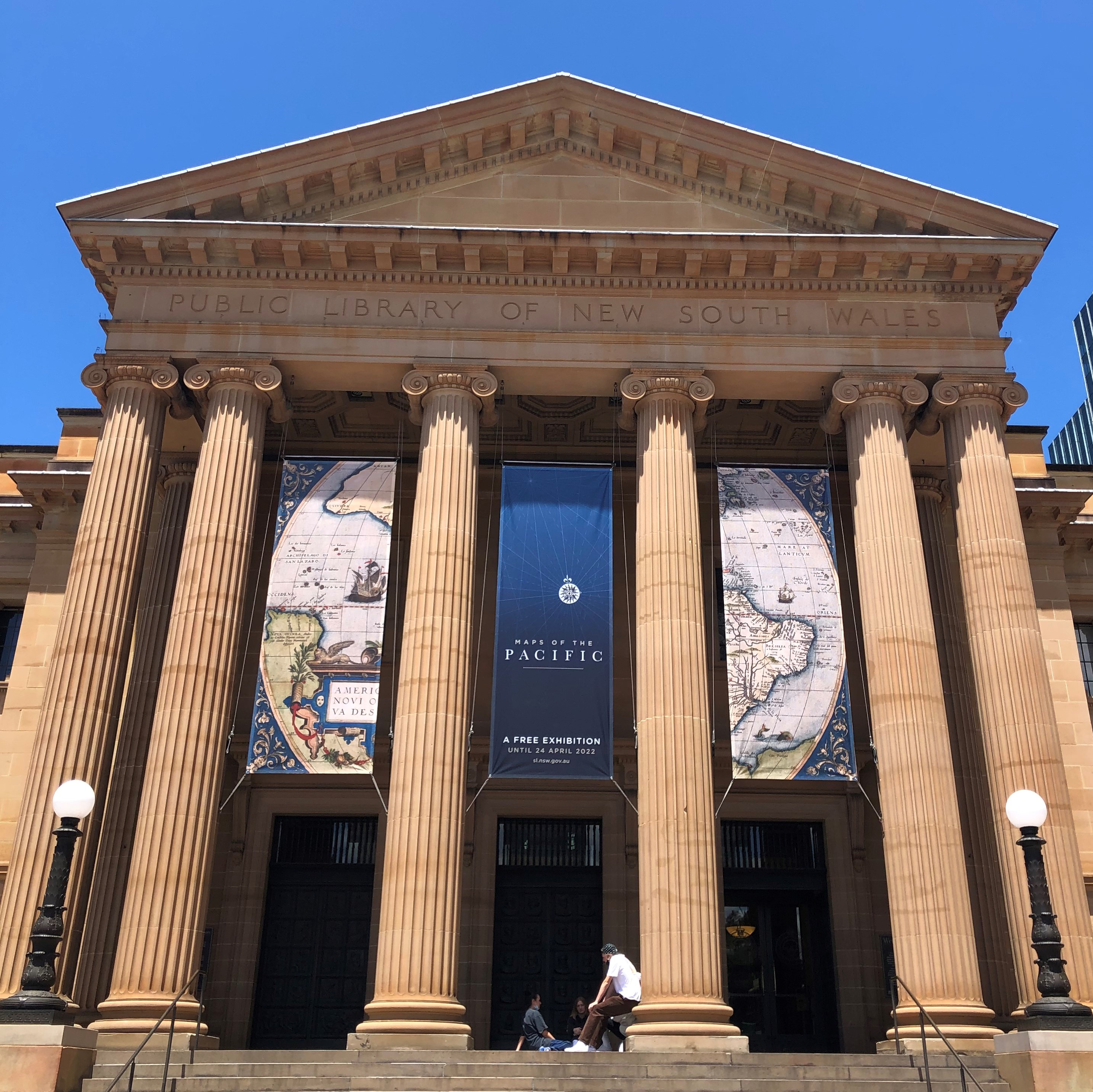
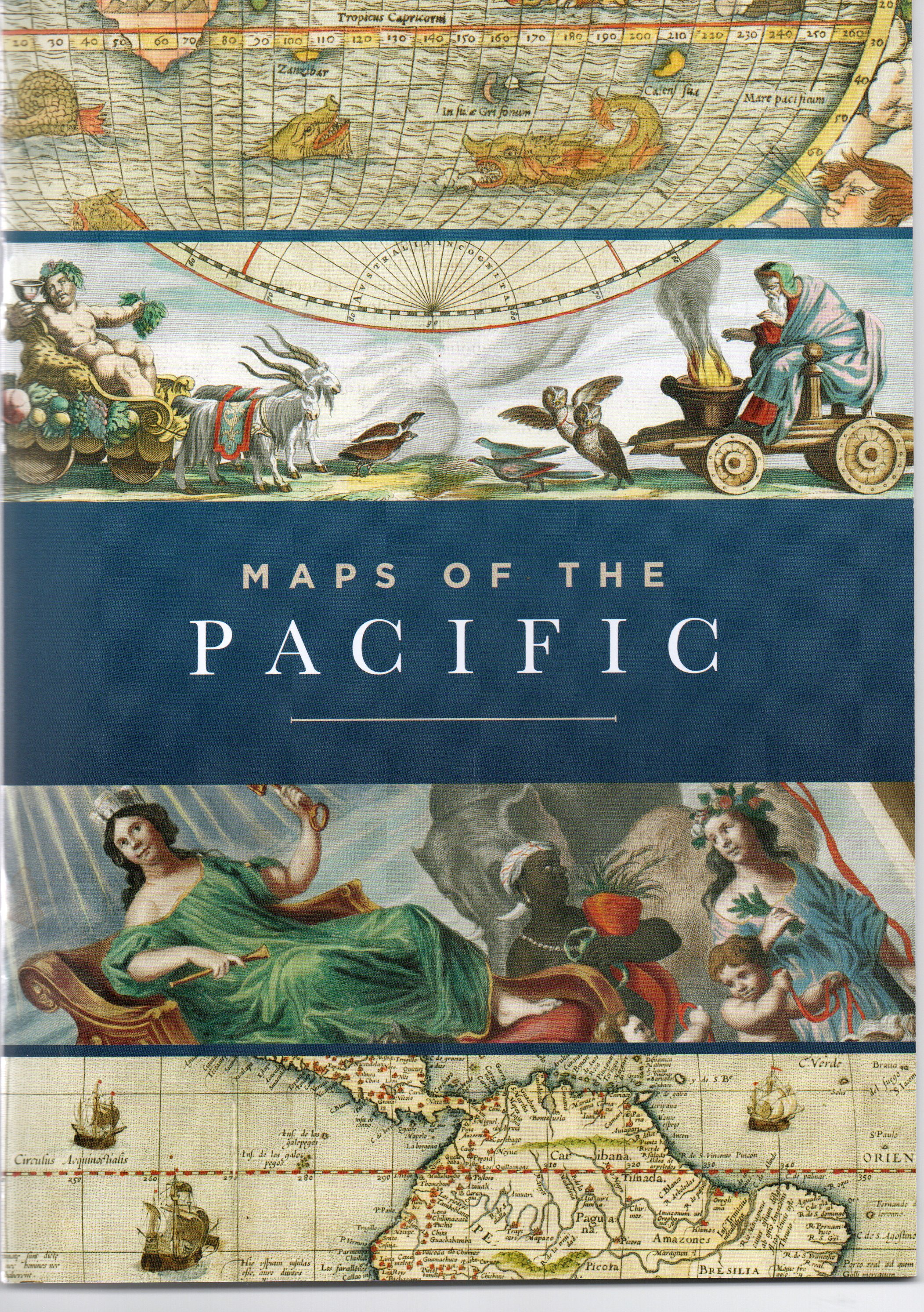
The remastered Tasman Map is now on view at the Maps of the Pacific exhibition which which is being held at the NSW State Library until April 2022. More than 12 months of conservation work has gone into preparing the Mitchell Library’s Tasman Map for its first public outing in 10 years.
Conservator Dana Kahabka consulted international experts and developed an eco-friendly solvent to remove varnish without damaging the map. The 380-hour operation used 6000 cotton swabs, 2400 pieces of abaca tissue and three litres of solvent and is the first time anything like this has been attempted by the Library’s conservation team.

It is believed that Prince Roland Bonaparte, the great-nephew of Napoleon I, had the map varnished and framed after buying it at auction in 1891, and it was in this condition that it arrived at the library in 1933.

The work revealed previously obscured details and subtle markings on the seventeenth-century manuscript chart which is was compiled in Batavia in late 1644 or early 1645, as a display map for the Directors of the Amsterdam Chamber of the United Dutch East India Company (VOC).
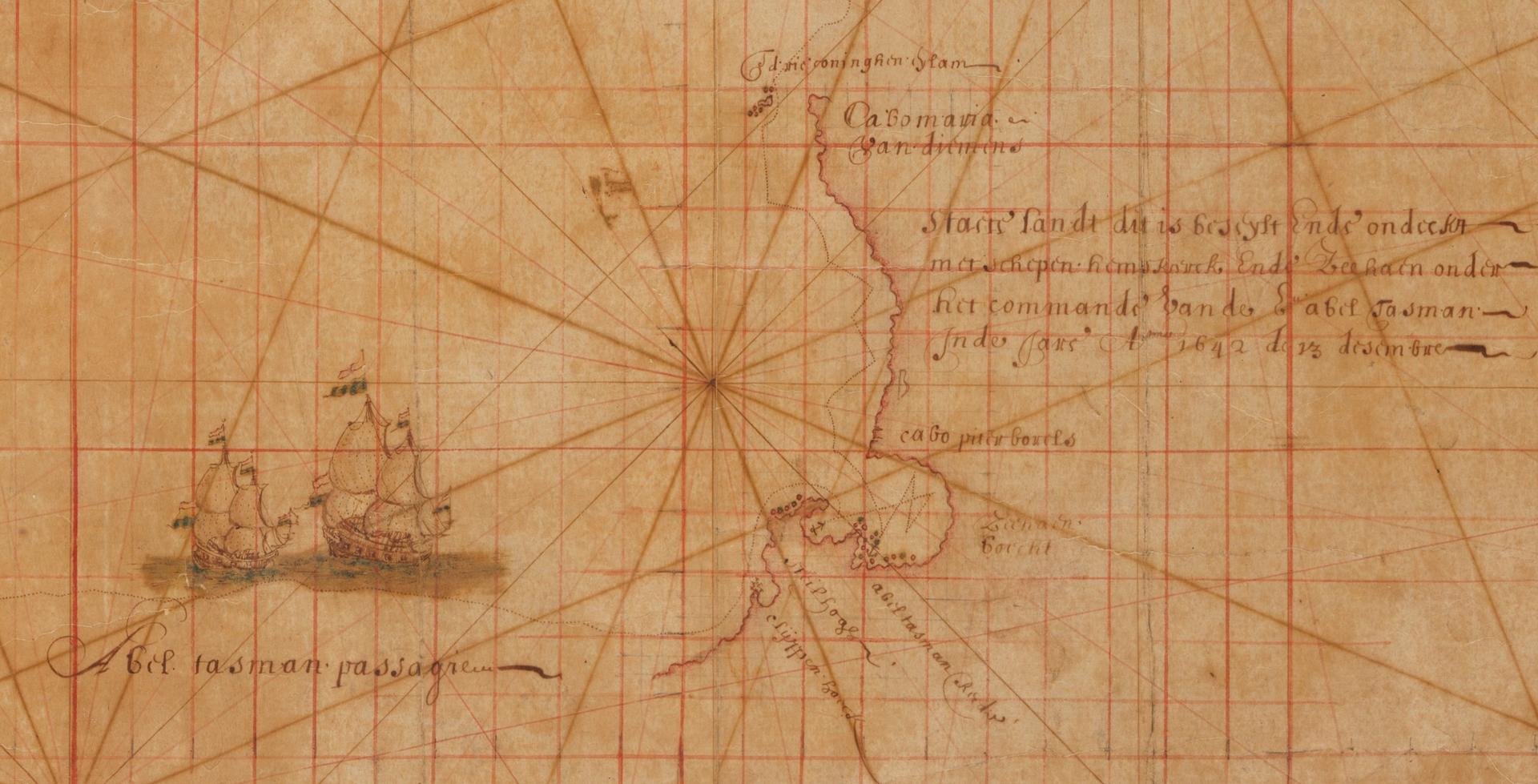
Following the conservation work the chart was rescanned by the digitisation team. Joy Lai the Library’s Imaging Specialist, set up strobe lighting in our studio to ensure even illumination across the object. The chart was digitised in six frames using a high-resolution medium format camera, ensuring maximum colour accuracy was captured across its surface texture and fine detail. Joy then combined these files to produce a single, master image, approximately 1 gigabyte, 15000 pixels long by 12500 pixels high. This new preservation master reveals the unvarnished surface, providing an opportunity to deep zoom into the intricate features of cartouche and coastlines.
Detail of the Tasman Map before and after the treatment.

The remastered Tasman Map is now on view at the wonderful Maps of the Pacific exhibition which which is being held at the NSW State Library until April 2022.
Over a period of only forty years from 1606 to 1644 and based on sixteen separate discoveries the first map of Australia took shape. The Tasman Map shows a recognisable outline of the north, west and south coasts of Australia that was not to change for another 125 years until the British explorer James Cook chartered the east coast of Australia. It was in 1925 and 1933 that the Mitchell Library in Sydney, Australia, acquired both the Tasman Huydecoper Journal and the Tasman Bonaparte Map which are icons of both Dutch and Australian History.
The story of the Tasman Map and how the library managed to acquire these treasures of Dutch exploration and cartography are told in the book The Tasman Map which is available for purchase in the Library Bookshop.
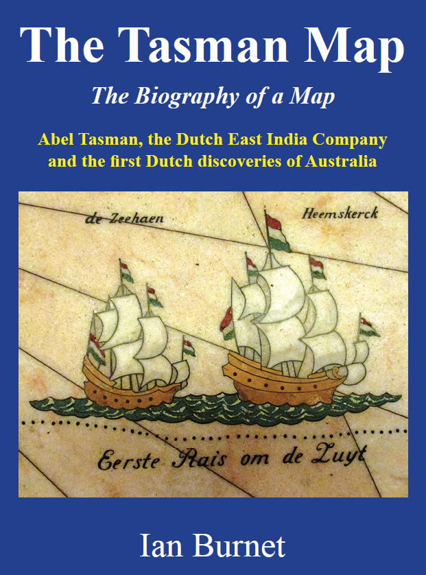
https://www.ianburnetbooks.com
