

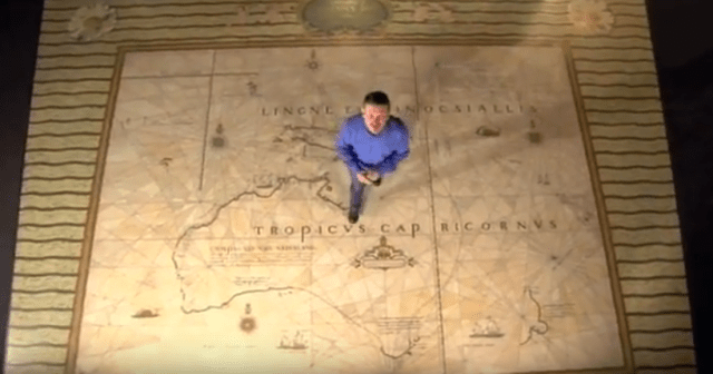
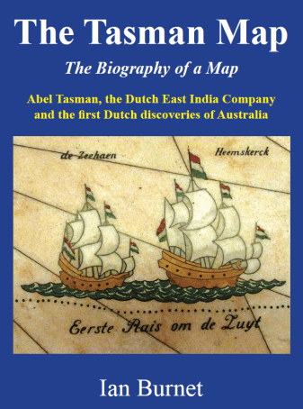
The Tasman Map , also known as the Bonaparte Tasman Map, is a prize possession of the Mitchell Library in Sydney. It was bequeathed to the Library, though in a rather roundabout fashion explained in detail in Chapter 27, by Prince Roland Bonaparte. President of the Geographical Society of France and grandnephew of Napoleon I. Compiled over the period from 1606 to 1644, the Tasman Map shows Australia and some neighbouring islands. It was drawn in Batavia either by or under the direction of Isaac Gilsemans, who had been supercargo on the Zeehaen travelling with Tasman in his voyage on the Heemskerk in 1642/43 during which some of the major features of the Tasman Map were charted. It is hand-drawn on Japanese paper. The map is also displayed as a mosaic in marble on the vestibule floor in the Mitchell Library.
The subtitle of ‘The Biography of a Map’ is a very apt description of the way the story of the construction of the Tasman Map is presented. The Tasman Map is the compilation of sixteen separate discoveries in the Australia-East Indies region beginning with the Portuguese in the sixteenth century. Each of the cartographic steps is presented with detailed accounts of the people involved. Including their personal lives and their roles in the processes that brought traders from Europe to the East Indies. This is the ‘biography’ of the map and it gives the book extra substance and makes for a rich reading experience.
An interesting feature of this book is that it raises for the reader many ‘What if’ questions about the discovery, mapping and settlement of Australia. What if one of the Dutch attempts to sail through what is now the Torres Strait had been successful and they had discovered and mapped the east coast of Australia? What if Tasman had sailed directly north after leaving Tasmania and encountered Australia’s eastern coast rather than New Zealand? What if the VOC had been run by a more inquisitive group? For me, one of the interesting outcomes of reading this book is the realization that this period of exploration of this part of the world was driven almost exclusively by commercial considerations.
Ian Burnet has presented a detailed and authoritative account of the construction of the Tasman Map and its subsequent history. But he goes a lot further than that. The depth of the social and political history contained here is impressive in the way it provides an insight into the contemporary conditions and the people involved. I have enjoyed reading it and learnt a great deal.
Brian Finlayson, School of Geography, University of Melbourne.
