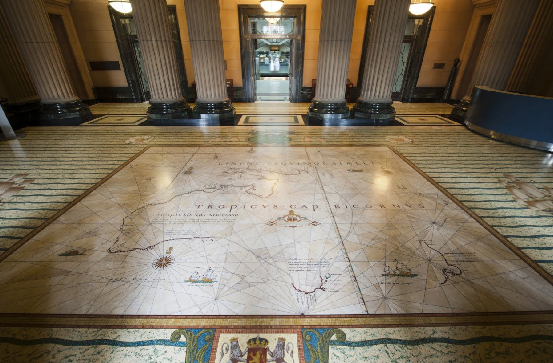
The Tasman Map is an icon of early Dutch cartography and shows the first European discoveries of Australia. Over a period of only forty years from 1606 to 1644 and based on sixteen seperate discoveries, the first map of Australia took shape and shows a recognisable outline of the north, west and south coasts of Australia that was not to change for another 125 years until the arrival of the British explorer James Cook.
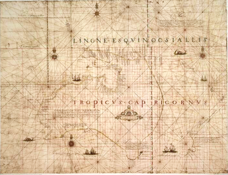
The ornate manuscript map has been drawn on delicate Japanese paper and was clearly produced for display. It is believed to have been compiled in Batavia (Jakarta) by Isaac Gilsemans. A merchant officer for the Dutch East India Company, who sailed with Abel Tasman on the 1642/43 voyage to Van Diemens Land and New Zealand and documented this voyage.
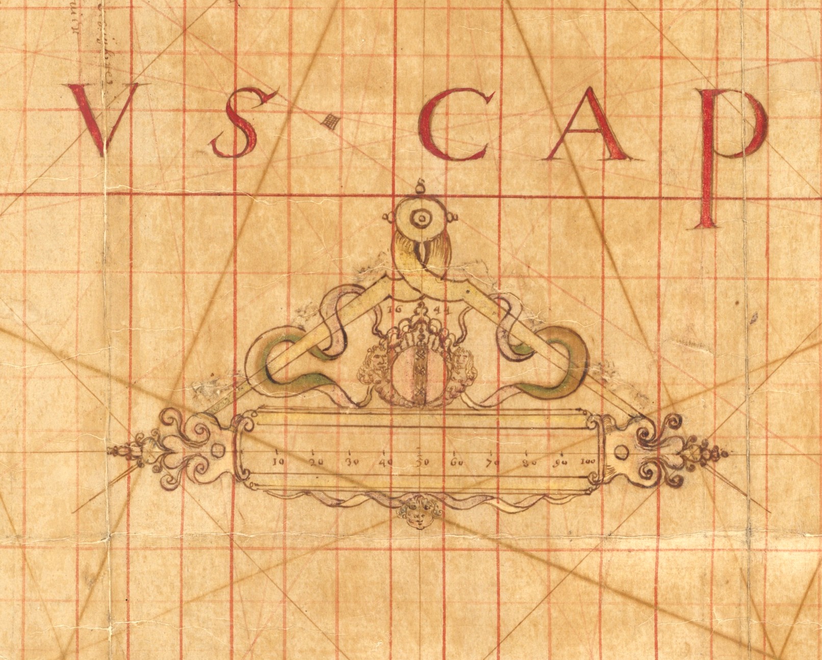
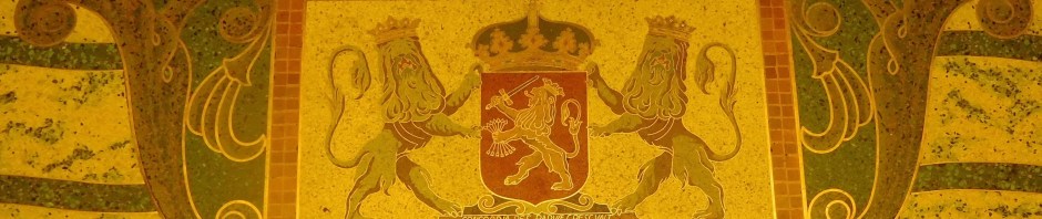
The map shows the arms of the City of Amsterdam, with the three crosses of Saint Andrew below the date 1644. Indicating that the map was prepared for display by the Amsterdam Chamber of the Dutch East India Company. The inscription on the upper right-hand corner of the map reads – ‘These lands were discovered by the Companies explorers except for the northern part of New Guinea and the west of Java. This work thus put together from different writings as well as the personal observations of by Abel Jansen Tasman, AD 1644, by order of his Excellency the Governor-General Antonio van Dieman”.
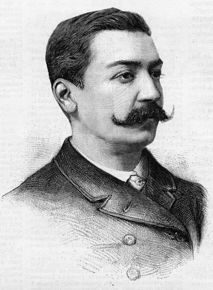
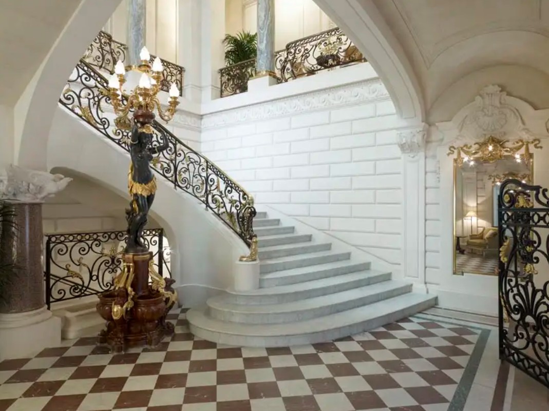
After the bankruptcy of the Dutch East India Company in 1799, the map fell into private hands and was listed for sale in 1891 by the the Frederik Muller Company. The map was then purchased by Prince Roland Bonaparte, the grand-nephew of Napolean Bonaparte, who was also the president of the Geographical Society of France. It was in 1904 that James Park Thomson, the President of the Queensland branch of the Royal Geographic Society of Australasia, visited Prince Roland at his palace in Paris. He describes being led up the marble stairs of the Palais d’Iena and seeing the Tasman Map in a prominent position at the head of the stairs. Prince Roland said “This is the first map of your great country Australia” and explained that after his death he wished the map to be given to the Australian people.
In 1904, James Park Thomson published a travel memoir, entitled Round the World in which he describes his visit to the Palais d’Iena and the offer from Prince Roland to gift the Tasman Map to Australia.
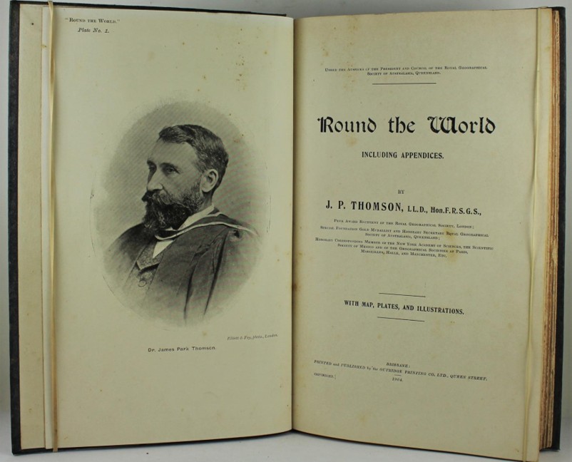
And then nothing happened! No one thought this was an amazing opportunity for another twenty years, until 1926 when Daisy Bates, the most isolated white woman in Australia, read Thomson’s book in at the Ooldea Camp on the Nullabour Plain.
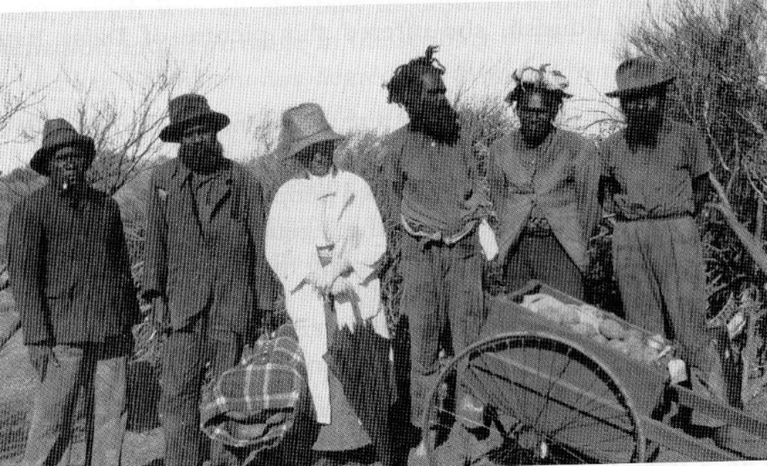
It was already more than twenty years since Thomson’s visit and Prince Roland Bonaparte had died two years earlier. From her isolated post she wrote to William Ifould, the Principle Librarian at the State Library of New South Wales, recounting the story told by Thomson and urging him to investigate the location of the map and if possible secure it for the Library. The map was now in the possesion of Princess Marie Bonaparte who fortunately knew of her father’s intentions. Thanks to Daisy Bates and after seven years of secret negotiations, the priceless Tasman Bonaparte Map was finally secured by William Ifould for the Mitchell Library in 1933.
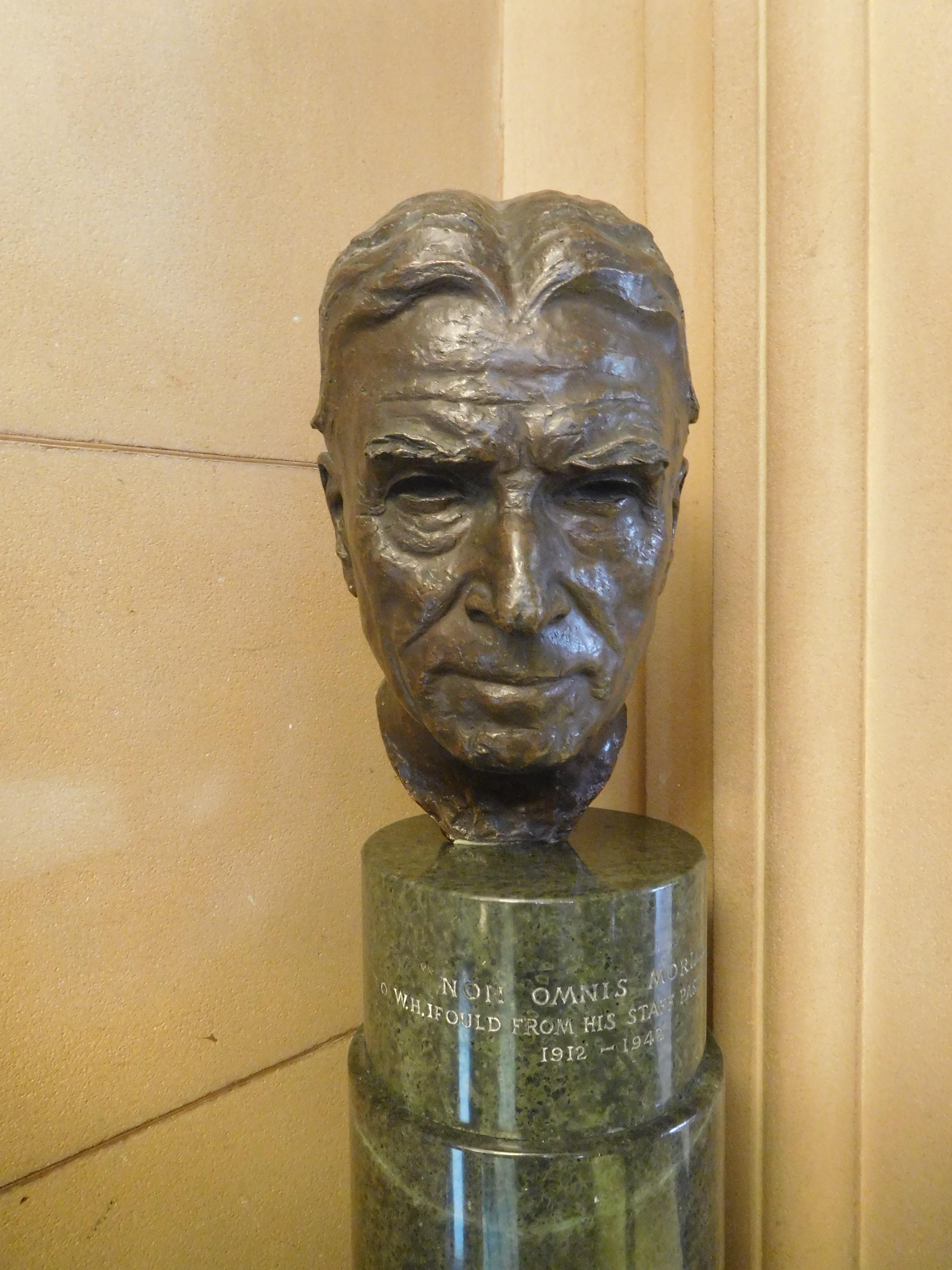
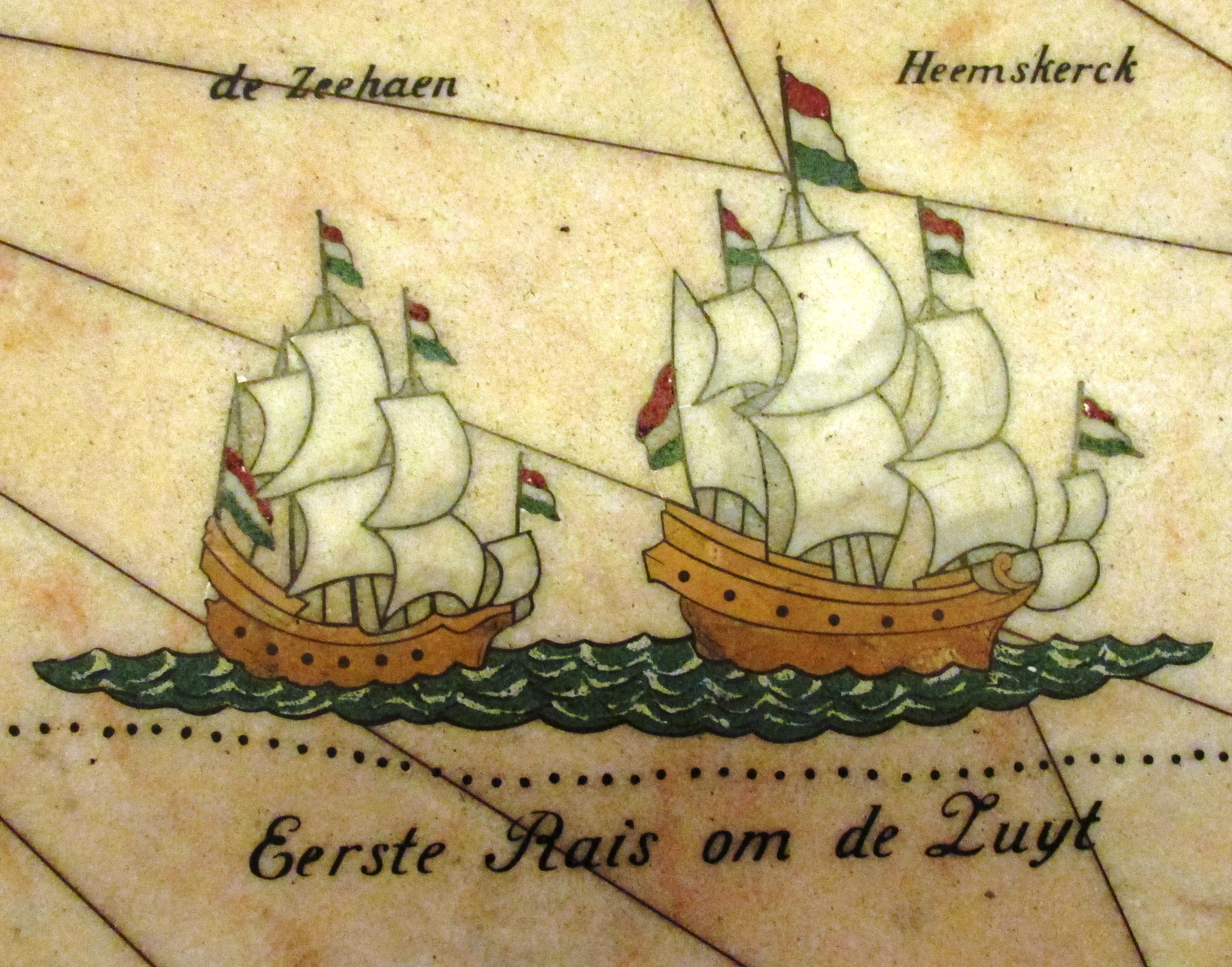
The acquisition of this icon of early Dutch cartography and Australian history had to be celebrated in a public space and William Ifould commissioned a marble mosaic map to fill the entire vestibule floor of the Mitchell Library, similar to the marble maps installed on the floor of the Groote Burgerzaal in Amsterdam. The work commenced in 1939 by the Melocco Brothers of Annandale who as master craftsmen took eighteen months and employed all of their skill, knowledge and patience to create one of the most impressive mosaic floors in the world.. After its completion Michael Stoker wrote that: ‘For years to come a million feet will cross this floor. They who pass this threshold to the sanctum beyond seek knowledge of man and life, past, present and future. May it never escape their attention that here beneath their feet is History’.